In the Earth, Environmental, and Sustainability Sciences department, we are committed to engaging our students in meaningful and applied research and internship experiences that serve as a capstone undergraduate experience for all majors. Students pursuing a Bachelor of Science degree (in Earth and Environmental Sciences or Sustainability Science) within the department are required to undertake mentored independent research or a practicum project during their senior year and are expected to present their outcomes at a professional conference.
Research & Internship
Undergraduate Research
The department offers a wide range of exciting mentored research opportunities that prepare students for success in their chosen careers after they complete their degree at Furman. Any student with an interest in Earth and Environmental Sciences or Sustainability Science can reach out to a faculty member in the department to collaboratively develop a research project idea to pursue. Furman’s Office of Undergraduate Research provides funding to support students during the summer and additional funds to cover student presentations at regional or national conferences.
Practicum Program
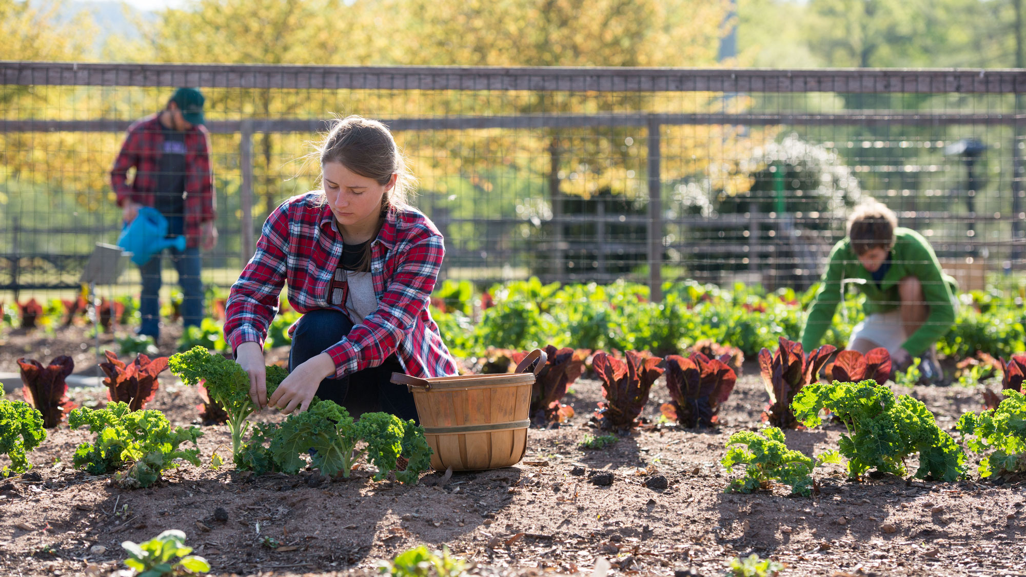
The Sustainability Science practicum program offers a unique capstone experience for our majors emphasizing sustainability solution-based research. Students will have the opportunity to conduct rigorous applied research and further develop critical analysis skills. Research analysis will be conducted in partnership with local or international organizations (nonprofit public or private) addressing a predetermined research question. Exploring topics that allow students to grapple with how to reduce environmental impact and increase social welfare designed to encourage “engaged scholarship” to prepare students for interdisciplinary team-based research in their careers.
On- and Off-campus Internships
Furman understands the importance of practical experiences such as internships in shaping the professional growth of our students. We have a dedicated office to coordinate local and international internship opportunities for students. The staff members at the Internships Office, which is part of the Malone Center for Career Engagement are committed to helping students identify their work with students identify their career goals and requirements, and help them secure the most suitable internships.
Shi Institute Sustainability Internships
The David E. Shi Center for Sustainable Communities strives to promote sustainable communities that are socially just and equitable, environmentally sound and resilient, and economically viable and inclusive. The institute supports dozens of student sustainability fellowships every year, which vary from summer experiences to semester-long or year-long experiences. The fellows engage in internships with local government agencies and community organizations, as well as Furman. Examples include working with the City of Greenville, local nonprofit organizations, and the university’s greenhouse gas inventory. The Institute also supports farming, and other activities to raise awareness about sustainable living.