Blog
Walking & Mapping: Reimagine Furman’s Campus with a New Map
Our campus closely resembles a maze. After attending Furman for about 4 years now, I still discover new paths to get to where I need to be simply by living in different residential buildings every year. Just by seeing how many paths you can take from North Village to the Physical Activities Center (PAC) or the number of sidewalks found between the Earle Health Center and Furman Hall, I’m sure having all the campus routes on one platform will make a big difference to all guests who visit our beautiful campus. This is where my fellowship comes in!
My name is Vanessa Amasi, I am a senior and will be completing my undergraduate studies in Sustainability Sciences this May. Additionally, I am an international student from Tanzania with interests in urban sustainability and sustainable built environments. During my time at Furman, I gained exposure to concepts related to urban planning, mapping, and GIS. As a result, I was inspired to apply for the campus map fellowship because it allowed me to strengthen my skills in geospatial analysis and problem solving with sustainability principles.
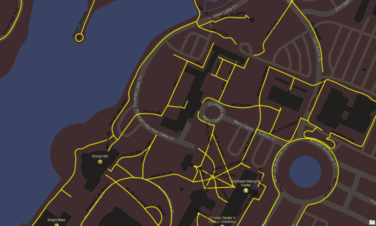
A section of Furman’s Campus Map showing The Dining Hall (DH), Clark Murphy Residential Building, Earle Health Center, Furman Admissions/Welcome Center & McAlister Circle. The yellow lines show the sidewalks between these buildings.
Many students frequently use the routes they are familiar with to get across campus. Here are a few trends that students follow to get to their next destination:
- Cutting through academic buildings
- Walking or biking on many of the sidewalks and bike trails
- Driving down the paved roads (Furman trolley, personal vehicles, etc.)
While this strategy is helpful for a large portion of our student body, the Furman community will benefit even more by having directions and other user-friendly features on the campus map. This will not only make Furman more walkable and bikeable, but also more accommodating and versatile!
The campus map fellowship was designed to evaluate our current campus map and create solutions that fill existing gaps. Ultimately, our goal is to create new features that can calculate distances, find convenient routes to take, and direct you to different places around Furman. By doing so, our campus map will no longer just show you where things can be found, it will also direct you there and highlight other features you can find along the way for your convenience. By elevating the guest’s experience, we can meet the needs of those seeking accommodations with navigating campus, trying out new fitness trails, or calculating the fastest route to arrive early to an 8:30 am lecture.
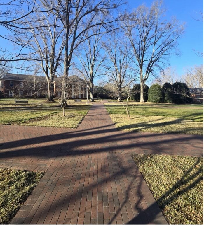
An image taken while walking to record existing sidewalks on Furman’s Campus.
Last fall, we began mapping through fieldwork. Our team walked through and recorded all the trails behind the Chapel, Timmons arena, and the Football stadium. We recorded additional outdoor trails and sidewalks using satellite imagery. After completing our data collection, we added both new and existing trails as data for our basemap database. Further into the year, we began processing all data using GIS and programming tools to create a foundation for future collaborations on our research. Given our progress thus far, we look forward to sharing these results as a resource for other departments or student groups who are interested in on our research.
As a part of our collaboration strategy, the applied research team is working together with students from the new GIS club to reimagine the new map for our campus. I really enjoy this part of my work because this fellowship has fostered meaningful collaboration with other students who share similar interests.
If you are more curious about this fellowship, keep an eye out for more campus map updates. Furthermore, if you are a student interested in getting involved with our work, you should definitely consider joining the GIS club next year!